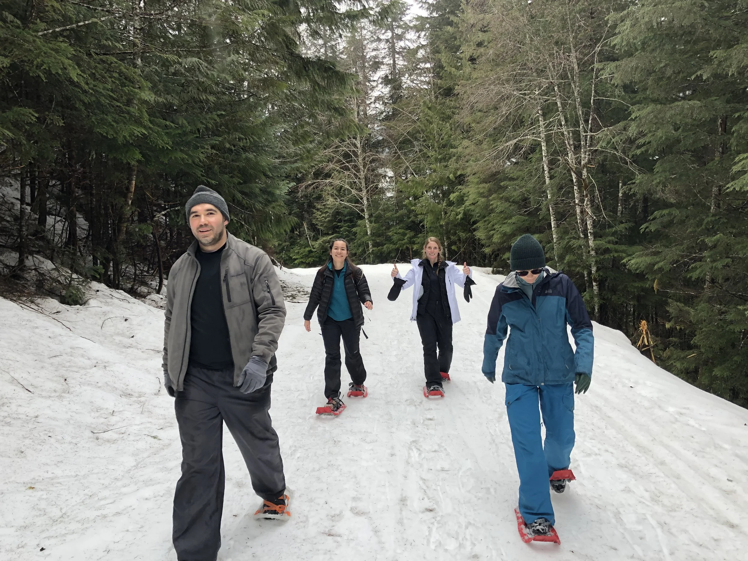
Artist’s Point Snowshoe Hike (Mt. Baker Ski Area, Washington)
On Sunday, February 27, 2022, we checked-in to our AirBnb in Glacier, WA (2.5hrs north of Seattle, 2hrs east of Vancouver) with excitement for a week of snowshoeing, skiing, and adventure. Unfortunately, the region had been dumped with multiple feet of snow over the past week and, combined with a forecast of heavy rain, the avalanche scale was a Level 4 (High) out of 5 (Extreme). Our excitement soon shifted to board games, driving in the rain, and quality time with friends.
By Friday, March 4, 2022, however, the weather patterns had shifted. The avalanche cycle was over and the rating was back down to Level 1 (Low). Moreover, a week of intermittent rain had yielded clearer skies and balmy temps nearing the 50s. The week’s anticipated highlight, a snowshoe hike to Artist’s Point at Mt. Baker Ski Area, was back on. . .
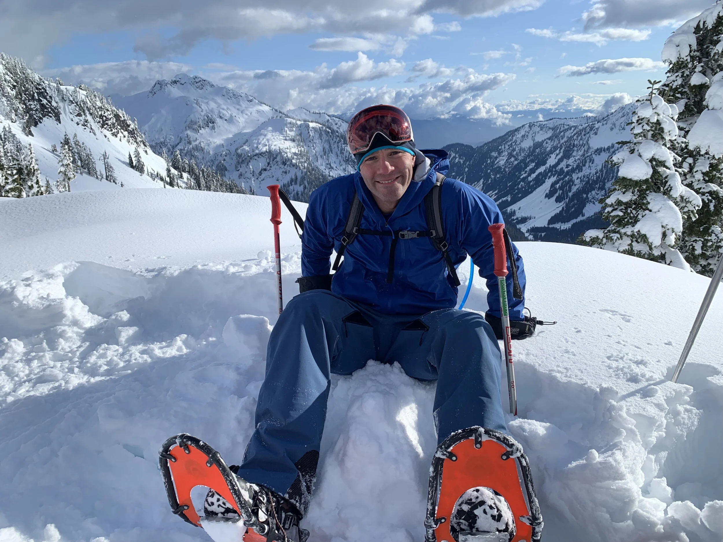
Snowshoeing to Artist’s Point
This hike calls for some route-planning, preparation, and navigation, but in the end is a beautiful walk in the snow with spectacular views.
Distance: 3 miles round trip / 850ft elevation gain
Avalanche Danger/Weather: Check the status on the Northwest Avalanche Center website the day of the hike and reschedule if the scale is higher than Level 2 (Moderate). Choose a day with clearer skies (and preferably warmer temps) to make the most of the views and make it enjoyable.
Snowshoe Rentals: Rent snowshoes and poles at Glacier Ski Shop (about 35min west of Mt. Baker Ski Area) on Mount Baker Highway (SR-542).
Trailhead: Hike is adjacent to the Mt. Baker Ski Area. Park in this parking lot. The trail to Artist’s Point begins at the end of the parking lot to the left of the restroom cabin heading south.
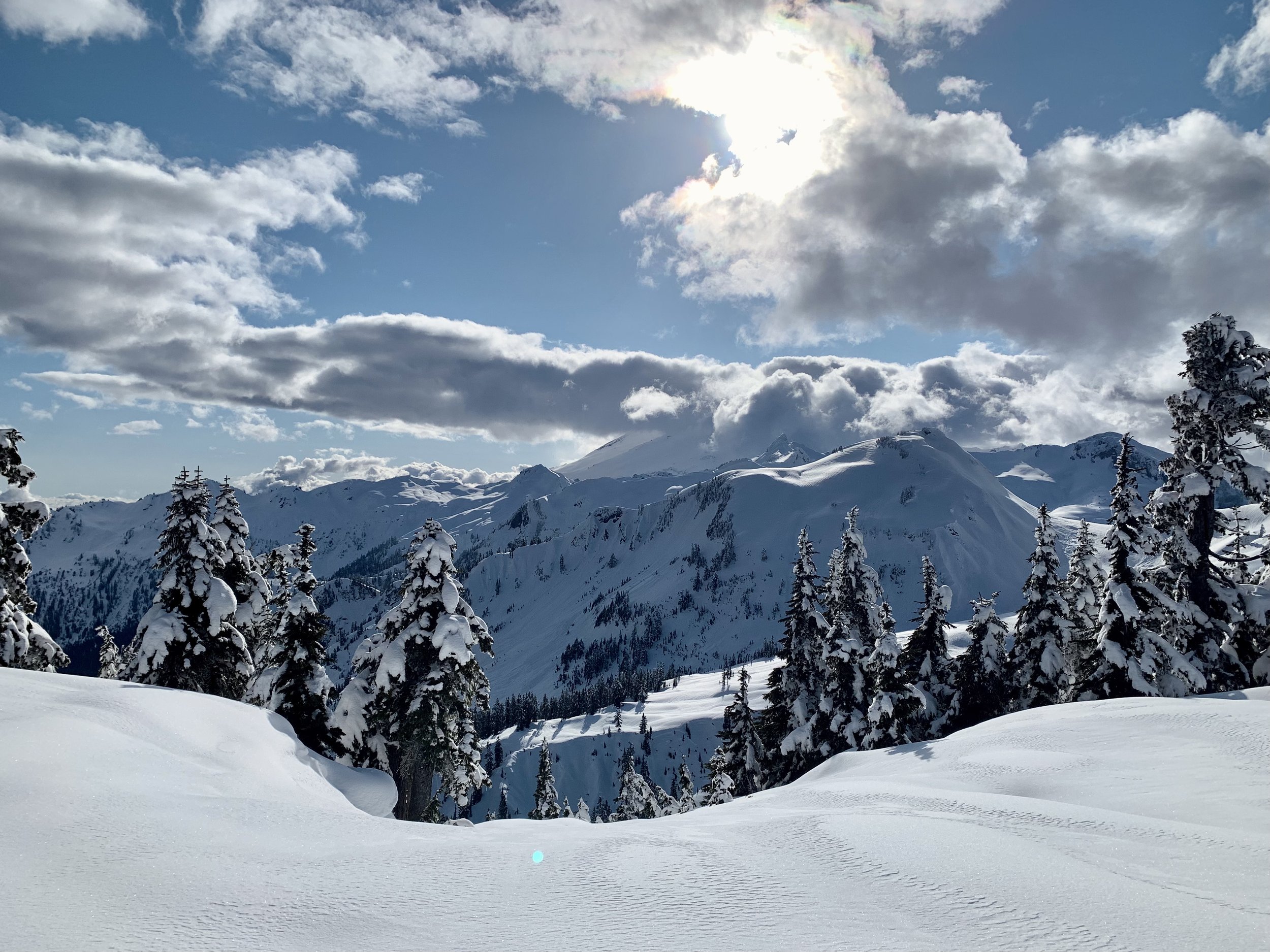
Route: AllTrails Fairly straightforward (albeit covered in snow). In the summer season, Mt. Baker Highway (SR-542) continues beyond the Mt. Baker Ski Area right up to the Artist’s Point viewpoint. The snowshoe route cuts through off-road terrain keeping SR-542 (and the Mt. Baker Ski Area) to the left until the very end when you cross SR-542 briefly to reach Artist’s Point. The snow-covered Heather Meadow’s Visitor Center will be visible on your right after 0.5 miles. The ascent is then divided into three brief climbs: The first brings you immediately adjacent to the ski area (and in sight of the top of the C-2 chair lift), the second (Austin Pass) leaves you adjacent to a hairpin turn in SR-542 (1.0 mile mark), and the third is the steepest of all (~1.2 mile mark), after which you will traverse pristine dunes of snow before crossing the road and reaching Artist’s Point for breathtaking views of Mt Shuksan to the east and Mt. Baker to the west, along with a slew of other peaks and ridgelines in panorama.
Skiing at Mt. Baker
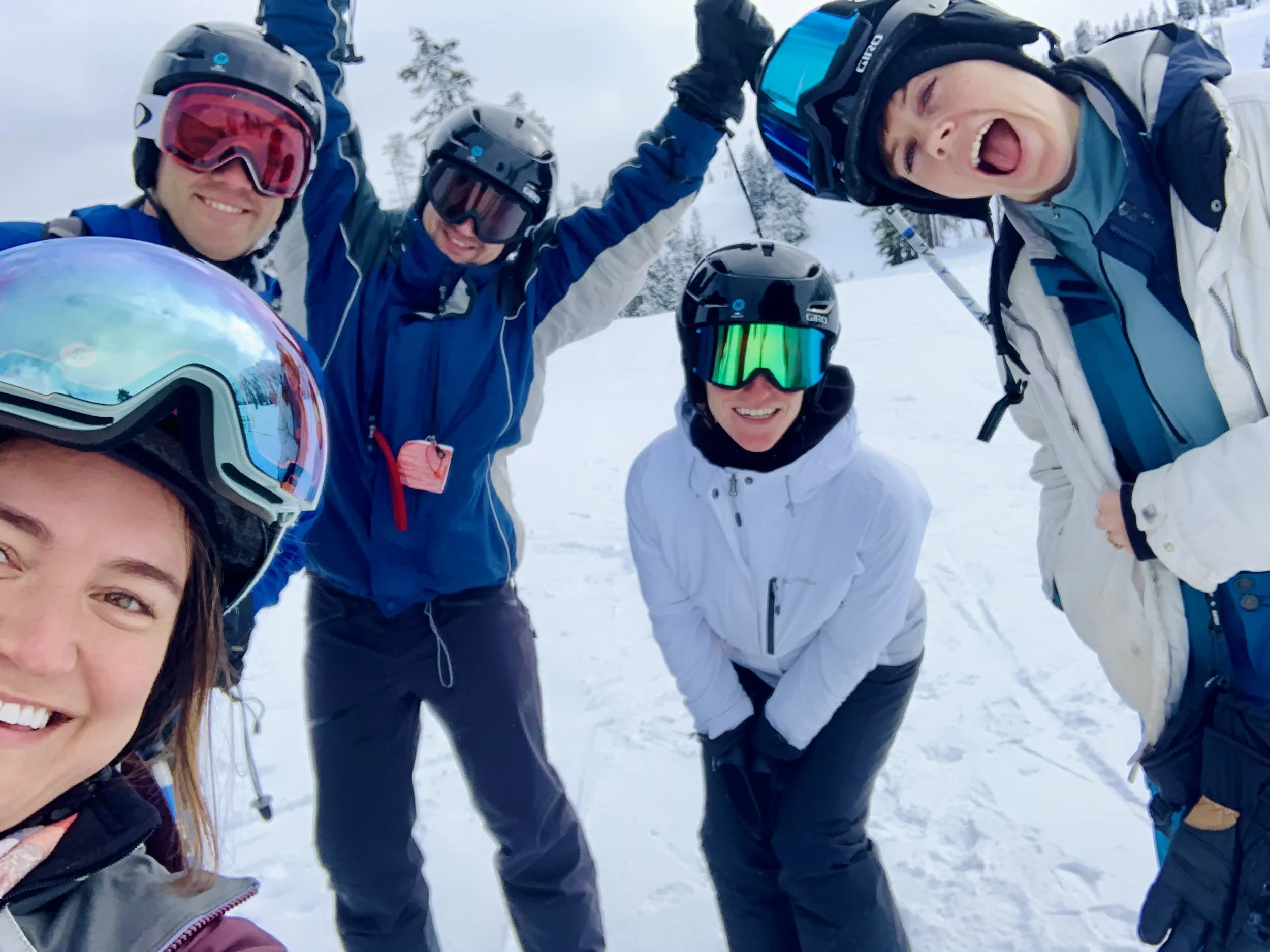
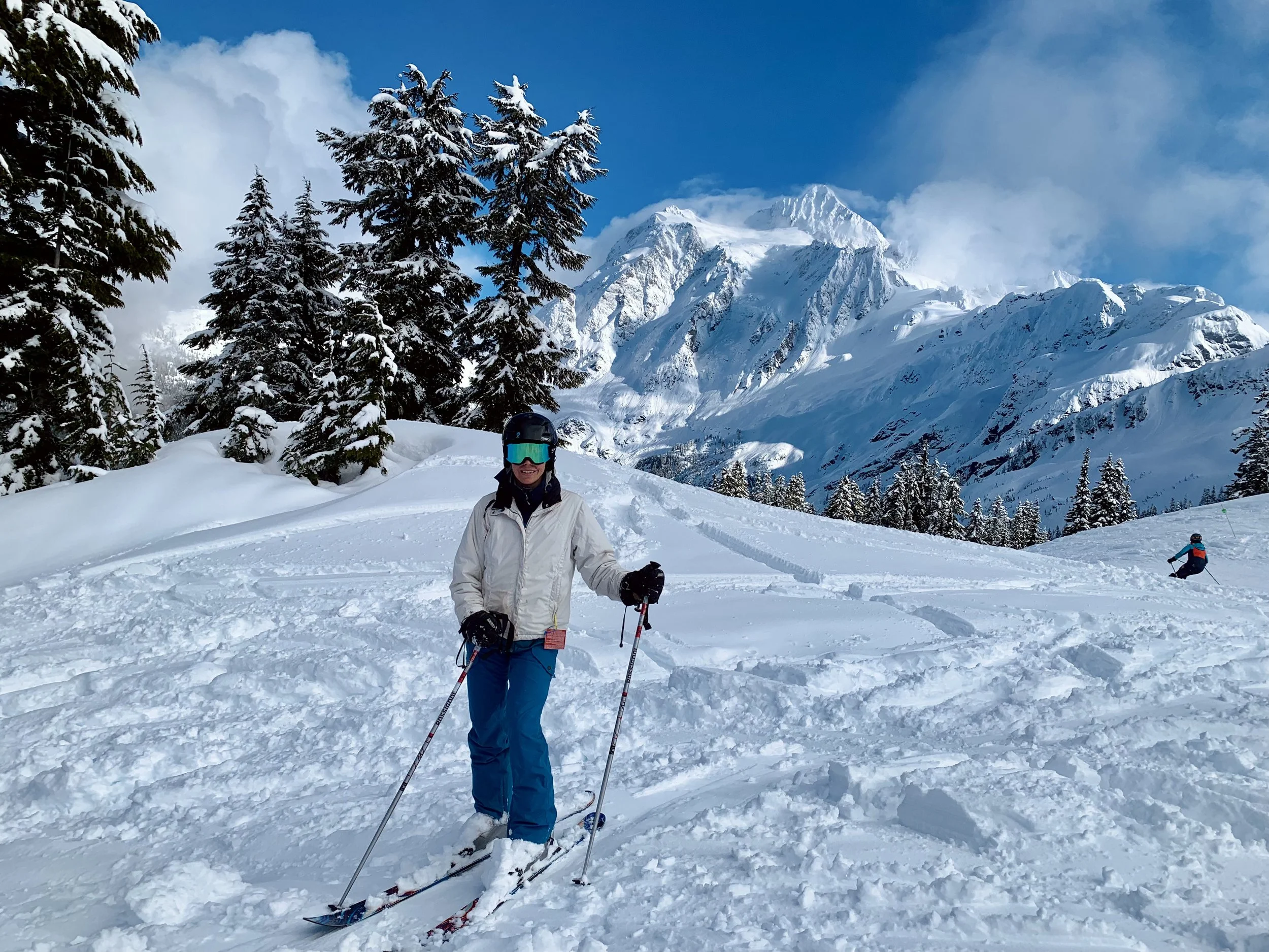
Mt. Baker had received over two feet of snow in 24 hours earlier in the week. We were unable to rent powder skis on such short notice but it was a gift all the same; an unexpected extra day of skiing to close out the year. Mt Baker is a totally badass local mountain. We did not get to explore the bigger terrain (C-1 & C-6) but still had spectacular views of Mt. Baker and Mt. Shuksan (and delicious pizza at Heather Meadows Day Lodge).
Some Other Hikes/Sights Near Glacier, Washington
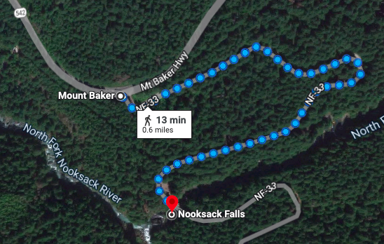
Nooksack Falls (1.2 miles round trip). A powerful waterfall flowing nearly 90 feet into a deep rocky river canyon. If the road (NF-33) is closed, park here at the intersection of Mount Baker Highway (SR-542) and NF-33 and walk 0.6 miles down the service road to the viewpoint. If NF-33 is open, you can drive down the road instead and park in a lot near the bridge opposite the entrance to the waterfall (less than 1 minute to viewpoint).
Horseshoe Bend
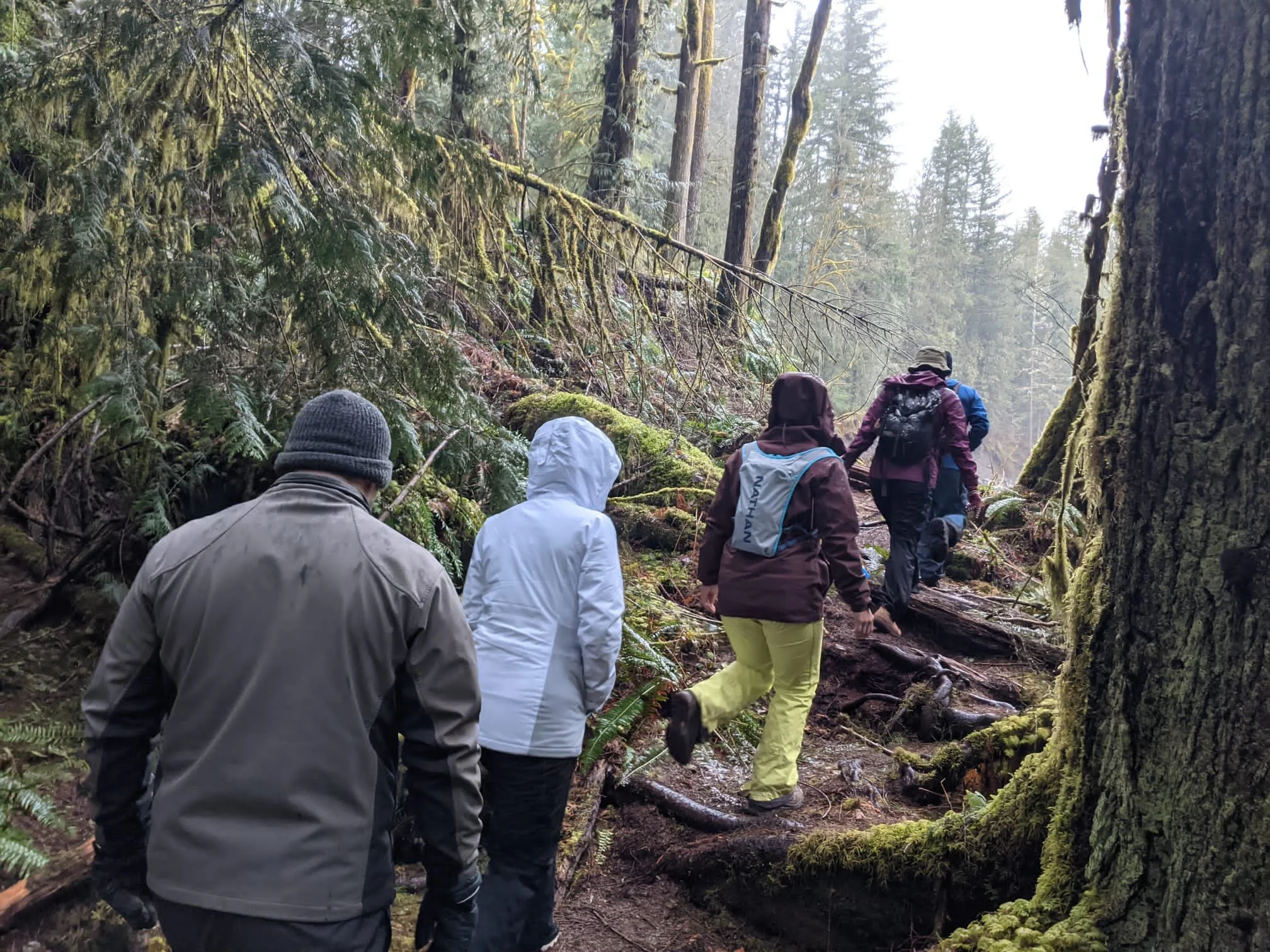
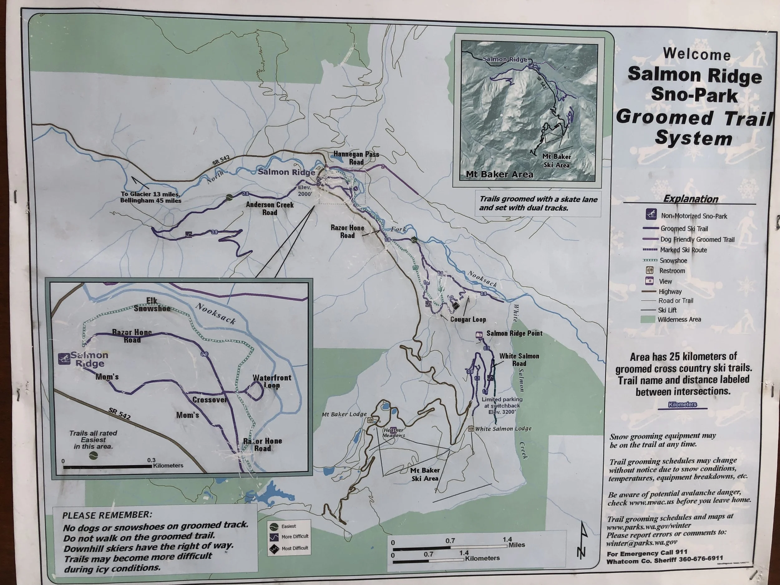
Salmon Ridge Sno-Park ($25 Per Vehicle Permit): A great option for easier snowshoeing (and cross-country skiing) and to still get out into the wilderness at a lower elevation when there is avalanche risk at higher elevations. We explored the Elk Snowshoe trail along the Nooksack River and ventured a bit up Razor Hone Road. It was peaceful and relatively flat. Here are some other hikes from the guidebooks:
Silver Fir Campground Ramble: 1.5 miles / 2 hours / 100ft elevation gain / Mossy forest with natural ice sculptures. Beginners. Family.
White Salmon Creek: Up to 10 miles / 6 hours / 300ft elevation / Wide track meadows and glades.
Razor Hone Creek: 5 miles / 2.5 hours / 500ft elevation / Stunning views.


